Troutmap River Maps Colorado – Gunnison River
Original price was: $24.95.$19.96Current price is: $19.96.
Save: 20%
Description
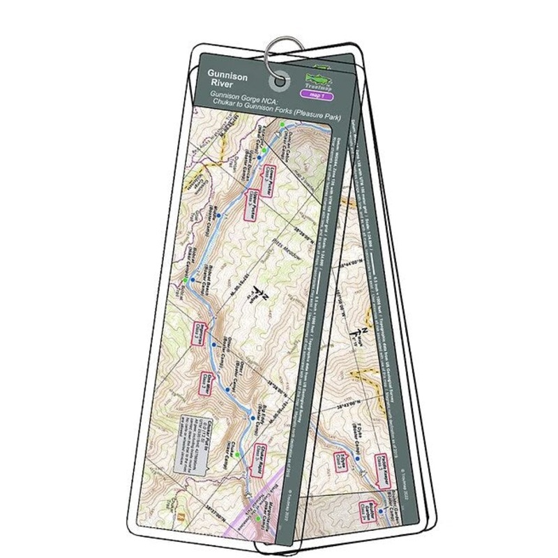
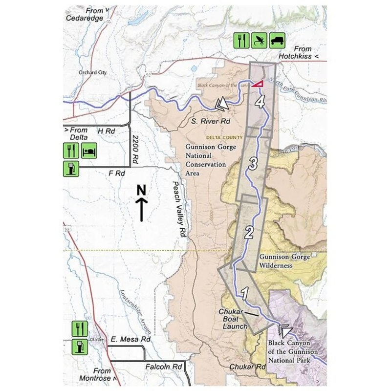
Chukar Trail to Pleasure Park
This map set follows Colorado’s Gunnison River for 13.5 miles through the Gunnison Gorge Wilderness and the Gunnison Gorge National Conservation Area from the put-in at Chukar to the take out at Gunnison Forks (Pleasure Park).
Everything (including boats) must be carried down the 1 mile Chukar trail to the put in. No carts or wheeled devices are allowed,so this is no place for a drift boat. A total of 15 class 3 rapids and 2 class 4 rapids are on this stretch of river to challenge your boating skills. Fabulous scenery and fabulous fishing as well.
4 river maps, a rapids classification guide, and anarea map
Pleasure Park to Delta
This map set follows Colorado’s Gunnison River for 17.3 miles, starting at Gunnison Forks (Pleasant Park)and finishing at Confluence Park in the town of Delta.
The first 7.5 river miles flow through the Gunnison Gorge National Conservation Area; most of the water further downstream flows through private land.
5 river maps and anarea map
Product Info:
- Laminated and waterproof maps that follow the river channel.
- Individual maps are secured with a stainless steel split ring, and includes asnap hook that allows clipping to a cable retractor on waders or boat.
- Cable retractor is not included
- River features such as rapids, boat ramps, access points, and campgrounds are clearly shown.
- Each map set contains an area map showing the general location of fly shops, shuttles, lodging, fuel and places to eat.
- Approximatesize: printed map:3-3/8 inches by 10-1/4inches;laminated page:3-3/4 inches by 10-1/2inches.
Related products
-
Sale!

Troutmap River Maps Colorado – Frying Pan River
Original price was: $21.95.$17.56Current price is: $17.56.Save: 20%
Add to cart -
Sale!
Troutmap River Maps Colorado – Arkansas River
Original price was: $25.95.$20.76Current price is: $20.76.Save: 20%
Add to cart -
Sale!
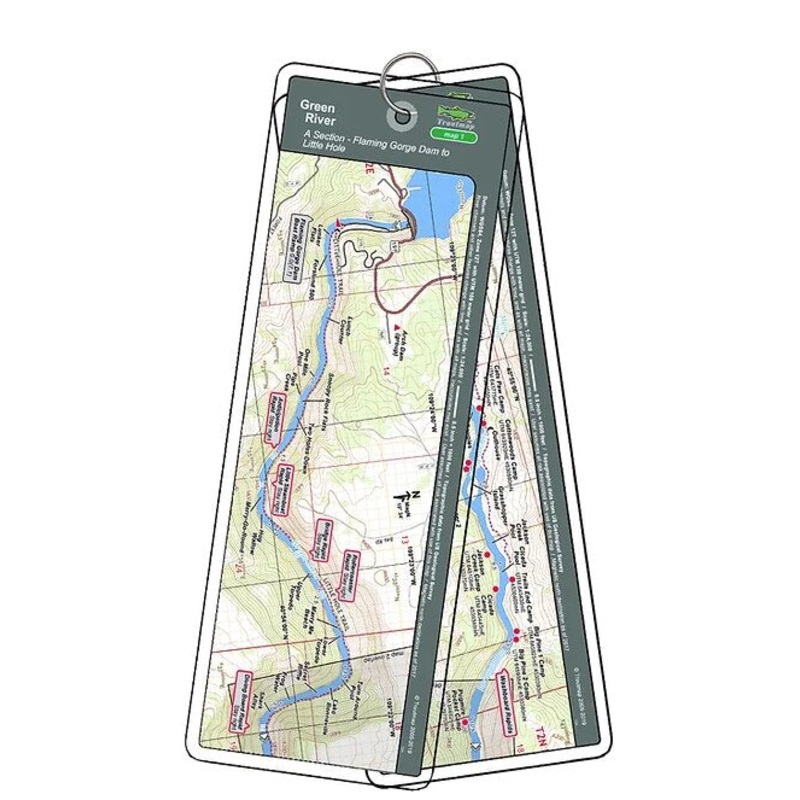
Troutmap River Maps Utah – Green River
Original price was: $36.95.$29.56Current price is: $29.56.Save: 20%
Add to cart
Reviews
There are no reviews yet.