Sale!
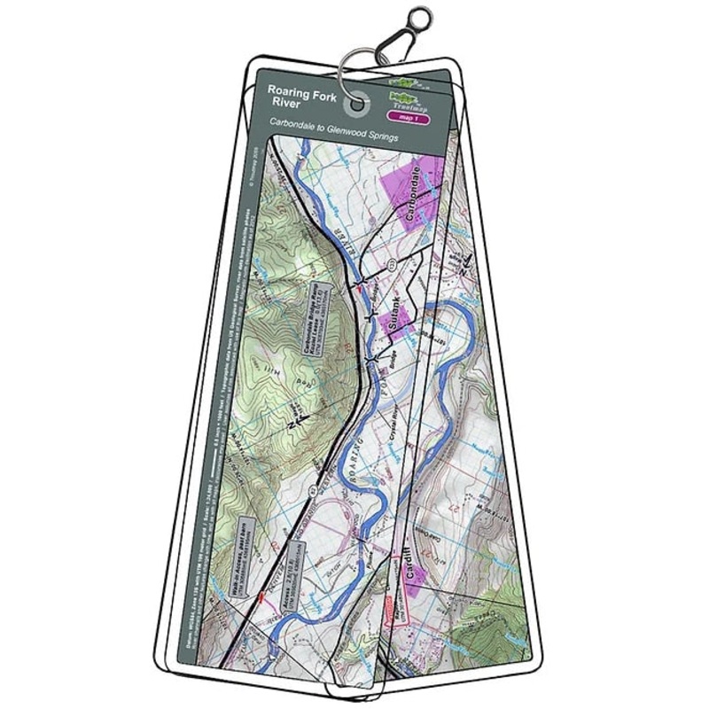
Troutmap River Maps Colorado – Roaring Fork River
Original price was: $21.95.$17.56Current price is: $17.56.
Save: 20%
Color_MT:
Description
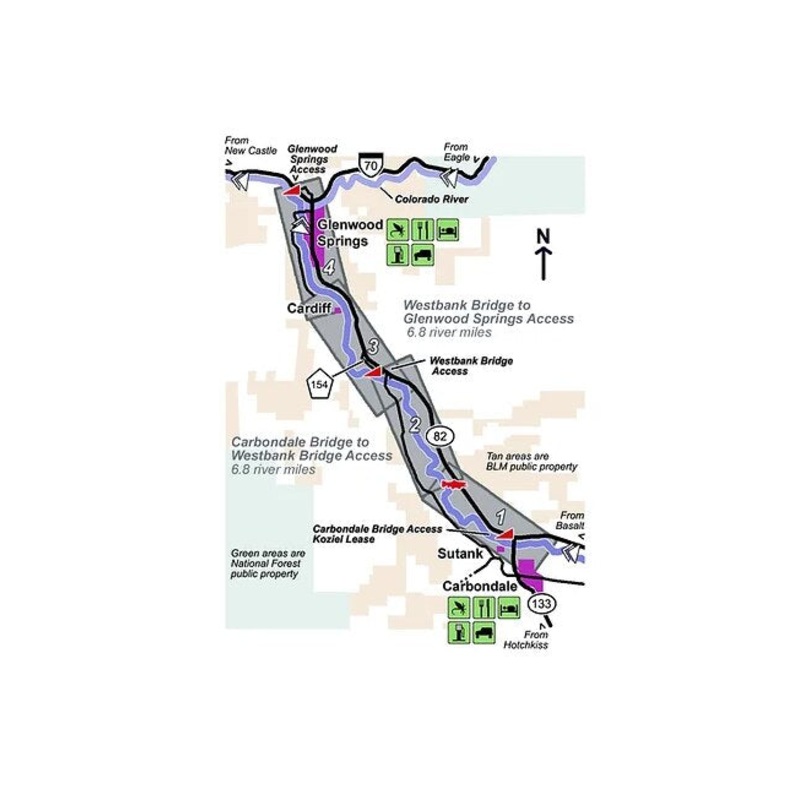
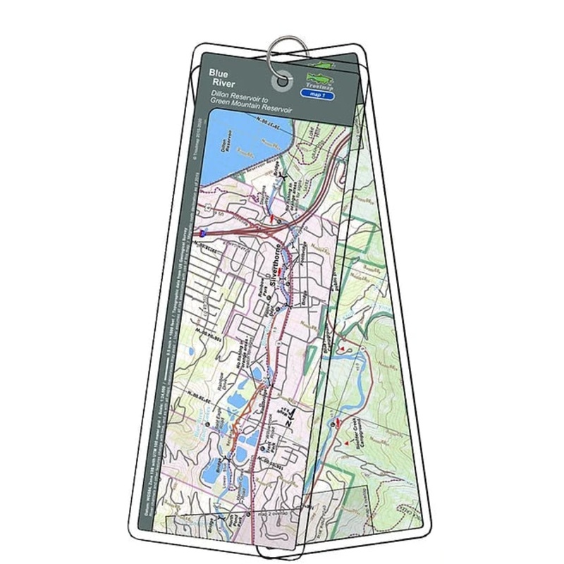
Carbondale to Glenwood Springs
Theset of maps follows Colorado’s Roaring Fork river for 13.6 miles from Carbondale to Glenwood Springs. The Roaring Fork is a meandering river conducive to drift boats, with one rapid, and is designated as Gold Medal Water.
4 river maps and anarea maps
Product Info:
- Laminated and waterproof maps that follow the river channel.
- Individual maps are secured with a stainless steel split ring, and includes asnap hook that allows clipping to a cable retractor on waders or boat.
- Cable retractor is not included
- River features such as rapids, boat ramps, access points, and campgrounds are clearly shown.
- Each map set contains an area map showing the general location of fly shops, shuttles, lodging, fuel and places to eat.
- Approximatesize: printed map:3-3/8 inches by 10-1/4inches;laminated page:3-3/4 inches by 10-1/2inches.
Related products
-
Sale!

Troutmap River Maps Montana – Bighorn River
Original price was: $26.95.$21.56Current price is: $21.56.Save: 20%
Add to cart -
Sale!
Troutmap River Maps Montana – Madison River
Original price was: $26.95.$21.56Current price is: $21.56.Save: 20%
Add to cart -
Sale!
Troutmap River Maps Colorado – Blue River
Original price was: $23.95.$19.16Current price is: $19.16.Save: 20%
Add to cart
Reviews
There are no reviews yet.