Sale!
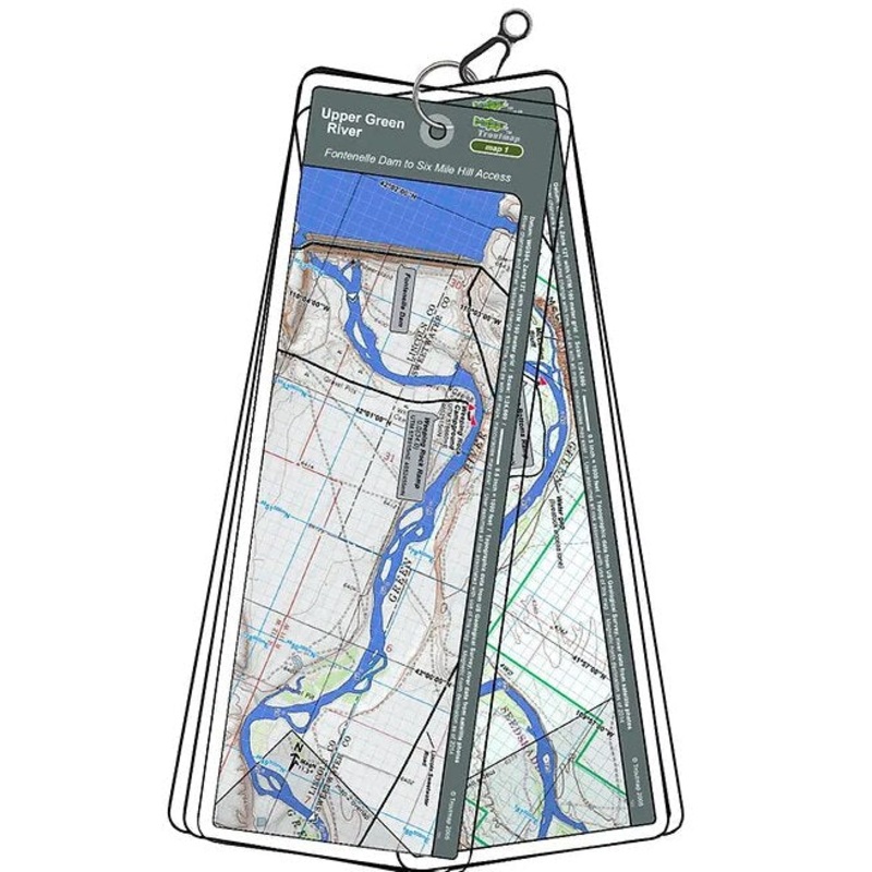
Troutmap River Maps Wyoming – Upper Green River
Original price was: $25.95.$20.76Current price is: $20.76.
Save: 20%
Color_MT:
Description
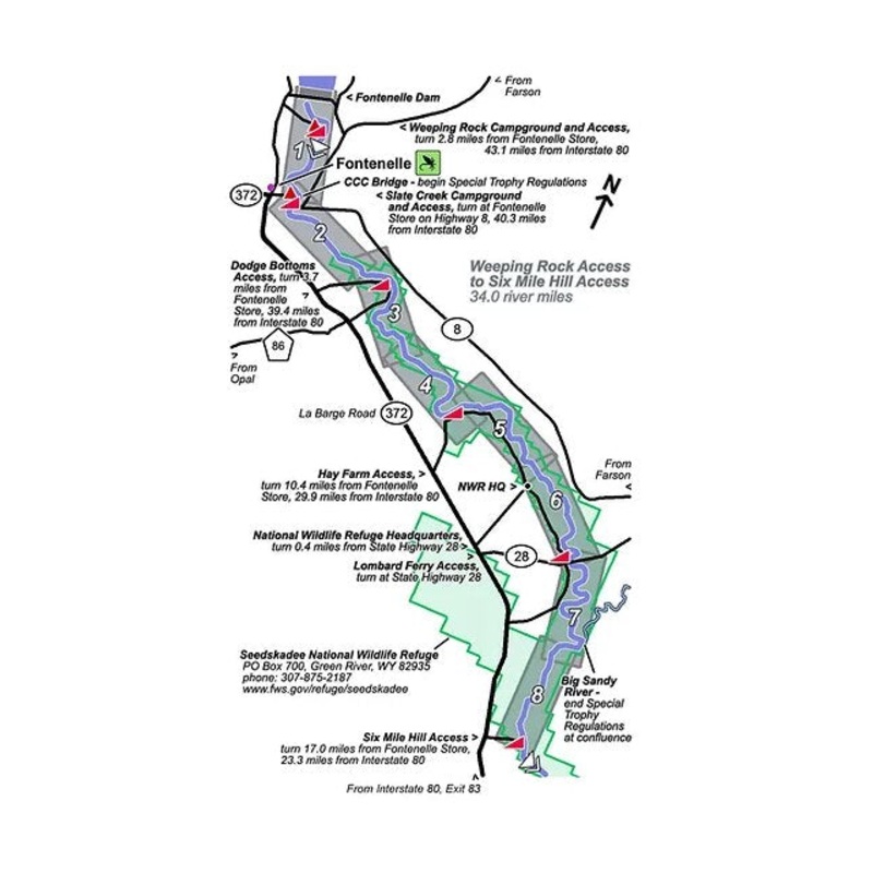
This map set is from Fontenelle Dam, below Fontenelle Reservoir to Six Mile HIll Access, near the southern boundary of the Seedskadee National Wildlife Refuge. Many birds and other wildlife besides great fishing make this a memorable experience.
8 river maps plus an area map
Product Info:
- Laminated and waterproof maps that follow the river channel.
- Individual maps are secured with a stainless steel split ring, and includes asnap hook that allows clipping to a cable retractor on waders or boat.
- Cable retractor is not included
- River features such as rapids, boat ramps, access points, and campgrounds are clearly shown.
- Each map set contains an area map showing the general location of fly shops, shuttles, lodging, fuel and places to eat.
- Approximatesize: printed map:3-3/8 inches by 10-1/4inches;laminated page:3-3/4 inches by 10-1/2inches.
Related products
-
Sale!

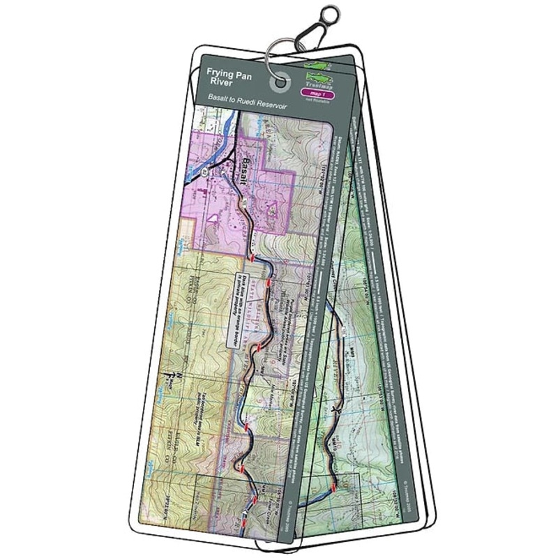
Troutmap River Maps Colorado – Frying Pan River
Original price was: $21.95.$17.56Current price is: $17.56.Save: 20%
Add to cart -
Sale!
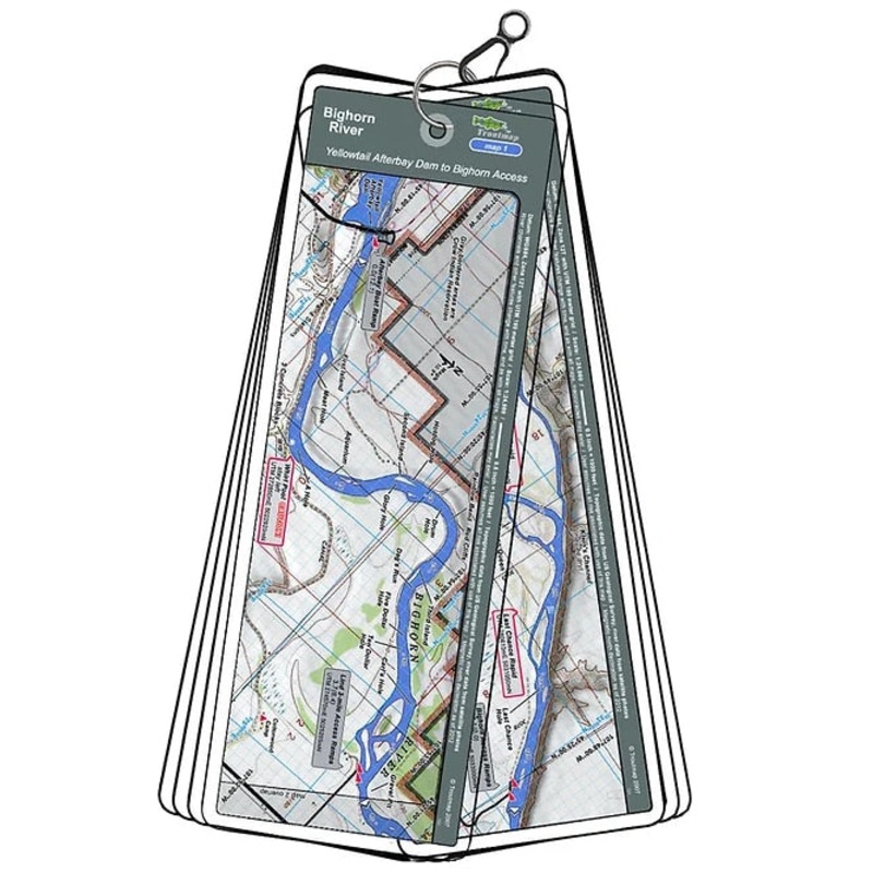
Troutmap River Maps Montana – Bighorn River
Original price was: $26.95.$21.56Current price is: $21.56.Save: 20%
Add to cart -
Sale!
The Feather Bender’s Advanced Flytying Techniques by Barry Ord Clarke (Hardcover)
Original price was: $29.95.$23.96Current price is: $23.96.Save: 20%
Add to cart

Reviews
There are no reviews yet.